


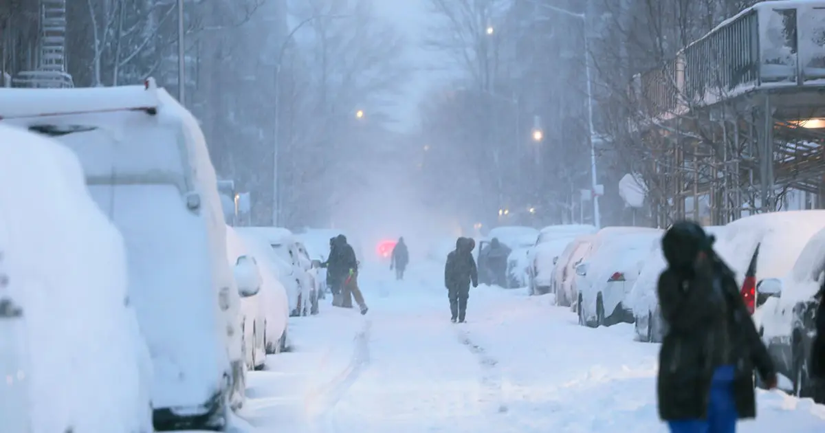
A late-week nor’easter is expected to bring rain, strong winds and a sharp drop in temperatures to Philadelphia, New York City and Washington DC, but forecasters say the chances of significant snow in the major coastal cities are fading.
The storm is expected to develop over the Ohio Valley on Thursday, November 12, before moving towards the Mid-Atlantic and north-east United States. Rain is likely to spread across the region through Thursday night and Friday, with the system moving away by Saturday.
Snow is still possible in higher ground across New England and the interior north-east, but warmer conditions near the coast mean most of the Interstate 95 corridor is expected to see rain instead. Any flakes mixing in around the cities are unlikely to settle because of wet ground temperatures and a lack of sufficiently cold air.
Nor’easter forecast for Philadelphia, New York and Washington
The National Weather Service is forecasting rain for New York City, north-east New Jersey and southern Connecticut. A brief mix of wet snow remains possible inland at higher elevations late on Friday or early Saturday, although confidence in that scenario is low.
Philadelphia is also expected to remain wet, with rain forecast from Thursday afternoon into Friday. The city’s official forecast puts the chance of rain at 90 per cent on Thursday, with temperatures reaching about 60F before falling to the upper 40s on Friday.
Washington DC and areas east of the mountains in Maryland and northern Virginia are expected to see rain. Further west, including the Alleghenies, accumulating snow could develop from Thursday night into Friday.
The latest guidance suggests the storm could move more quickly and produce less precipitation than earlier forecasts indicated. That has reduced the threat of snow at lower elevations, though forecasters are continuing to monitor the system’s track and strength.
There remains some uncertainty over whether a secondary area of low pressure will develop farther south and offshore. If it does, coastal areas could experience stronger wind gusts and a short-lived change from rain to snow as the storm pulls away.
If the system tracks farther out to sea, rainfall and wind impacts would be less severe. Forecasters currently regard that as the less likely outcome.
Coastal flooding is also possible during high-tide periods on Thursday and Friday, particularly along vulnerable stretches of the New York and New Jersey coastline. The National Weather Service said minor flooding was possible, with the potential for more significant impacts depending on the storm’s eventual track and associated winds.
Colder weather follows the storm
Even where snow does not fall, the weather is expected to turn markedly colder after the system passes. Afternoon temperatures could remain in the 30s and 40s across much of the north-east, while overnight lows may drop into the 20s.
By Saturday, the storm should be moving towards Canada, although lingering snow showers could continue from Maine through the Appalachians, including parts of upstate New York and central Pennsylvania.
